Where is Goliad County, Texas?
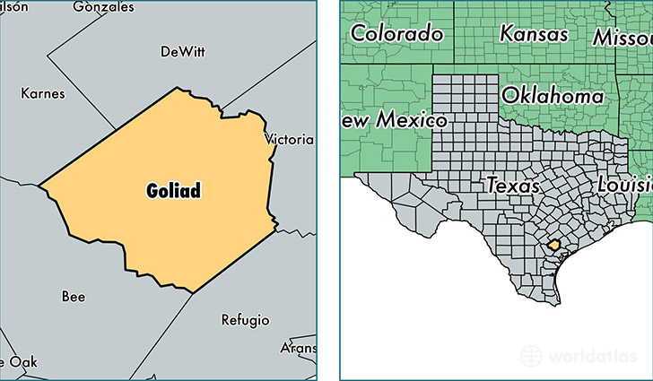
Goliad County is a county equivalent area found in Texas, USA. The county government of Goliad is found in the county seat of Goliad.
With a total 2,225.74 sq. km of land and water area, Goliad County, Texas is the 1070th largest county equivalent area in the United States. Home to 7,549 people, Goliad County has a total 3687 households earning 50923 on average per year.
Goliad County, Texas - Quick Facts
| FIPS Code | 48175 |
| Area Codes | 361 |
| Time Zone | CST |
| Major Cities | Goliad (population: 5,565), Berclair (population: 367), Weesatche (population: 150), Fannin (population: 123) |
| Land Area | 2,915 sq miles |
| Water Area | 852 sq miles |
| Household Income | $50,923 |
| Housing Units | 3,687 |
| Median Home Value | $111,600 |
| High School Grads | 86% of population |
| Holders of Bachelors Degrees | 14% of population |
| Retail Spending | $5,332 per capita |
| Food & Accomodation Sales | $3,895 per capita |
This page was last updated on June 30, 2016.