Where is Limestone County, Texas?
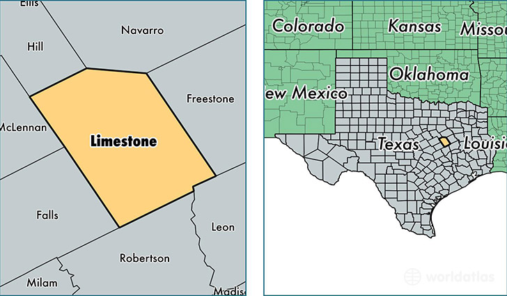
Limestone County is a county equivalent area found in Texas, USA. The county government of Limestone is found in the county seat of Groesbeck.
With a total 2,416.88 sq. km of land and water area, Limestone County, Texas is the 864th largest county equivalent area in the United States. Home to 23,524 people, Limestone County has a total 10500 households earning 38823 on average per year.
Limestone County, Texas - Quick Facts
| FIPS Code | 48293 |
| Area Codes | 254 |
| Time Zone | CST |
| Major Cities | Mexia (population: 11,401), Groesbeck (population: 7,117), Thornton (population: 1,474), Coolidge (population: 1,352), Kosse (population: 1,086), Tehuacana (population: 287), Prairie Hill (population: 265) |
| Land Area | 9,083 sq miles |
| Water Area | 905 sq miles |
| Household Income | $38,823 |
| Housing Units | 10,500 |
| Median Home Value | $83,200 |
| High School Grads | 79% of population |
| Holders of Bachelors Degrees | 12% of population |
| Retail Spending | $11,976 per capita |
| Food & Accomodation Sales | $18,247 per capita |
This page was last updated on June 30, 2016.