Where is Robertson County, Texas?
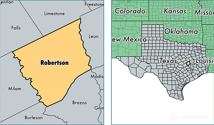
Robertson County is a county equivalent area found in Texas, USA. The county government of Robertson is found in the county seat of Franklin.
With a total 2,241.28 sq. km of land and water area, Robertson County, Texas is the 1049th largest county equivalent area in the United States. Home to 16,500 people, Robertson County has a total 8438 households earning 40601 on average per year.
Robertson County, Texas - Quick Facts
| FIPS Code | 48395 |
| Area Codes | 254,979 |
| Time Zone | CST |
| Major Cities | Hearne (population: 6,964), Franklin (population: 5,072), Bremond (population: 1,977), Calvert (population: 1,579), New Baden (population: 220), Wheelock (population: 193), Mumford (population: 104) |
| Land Area | 6,371 sq miles |
| Water Area | 856 sq miles |
| Household Income | $40,601 |
| Housing Units | 8,438 |
| Median Home Value | $77,400 |
| High School Grads | 76% of population |
| Holders of Bachelors Degrees | 16% of population |
| Retail Spending | $7,285 per capita |
| Food & Accomodation Sales | $15,197 per capita |
This page was last updated on June 30, 2016.