Where is Fort Bend County, Texas?
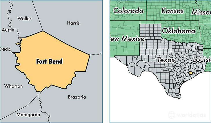
Fort Bend County is a county equivalent area found in Texas, USA. The county government of Fort Bend is found in the county seat of Richmond.
With a total 2,293.02 sq. km of land and water area, Fort Bend County, Texas is the 1010th largest county equivalent area in the United States. Home to 685,345 people, Fort Bend County has a total 214493 households earning 85297 on average per year.
Fort Bend County, Texas - Quick Facts
| FIPS Code | 48157 |
| Area Codes | 713,281,979 |
| Time Zone | CST |
| Major Cities | Sugar Land (population: 159,838), Richmond (population: 104,585), Missouri City (population: 98,365), Katy (population: 65,844), Stafford (population: 38,345), Rosenberg (population: 37,764), Houston (population: 30,650), Fresno (population: 20,822), Needville (population: 11,443), Fulshear (population: 5,153) |
| Land Area | 264,613 sq miles |
| Water Area | 862 sq miles |
| Household Income | $85,297 |
| Housing Units | 214,493 |
| Median Home Value | $183,600 |
| High School Grads | 89% of population |
| Holders of Bachelors Degrees | 41% of population |
| Retail Spending | $10,440 per capita |
| Food & Accomodation Sales | $583,427 per capita |
This page was last updated on June 30, 2016.