Where is Waller County, Texas?
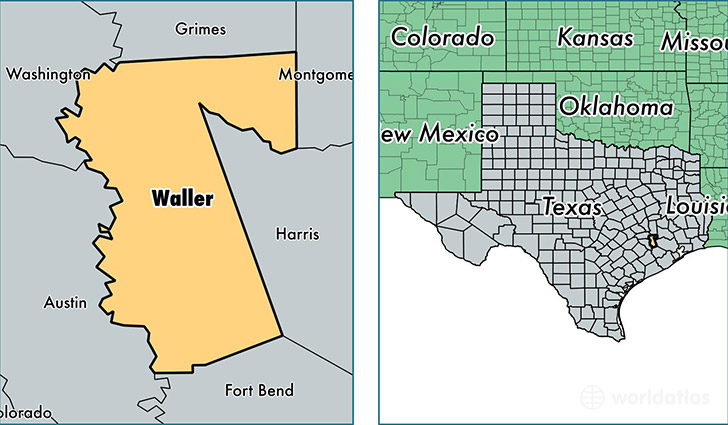
Waller County is a county equivalent area found in Texas, USA. The county government of Waller is found in the county seat of Hempstead.
With a total 1,341.16 sq. km of land and water area, Waller County, Texas is the 2110th largest county equivalent area in the United States. Home to 46,820 people, Waller County has a total 15916 households earning 50097 on average per year.
Waller County, Texas - Quick Facts
| FIPS Code | 48473 |
| Area Codes | 281,979,936 |
| Time Zone | CST |
| Major Cities | Hempstead (population: 12,296), Waller (population: 11,386), Brookshire (population: 9,748), Prairie View (population: 5,356), Pattison (population: 708) |
| Land Area | 18,077 sq miles |
| Water Area | 514 sq miles |
| Household Income | $50,097 |
| Housing Units | 15,916 |
| Median Home Value | $133,400 |
| High School Grads | 81% of population |
| Holders of Bachelors Degrees | 19% of population |
| Retail Spending | $16,554 per capita |
| Food & Accomodation Sales | $24,703 per capita |
| Universities and Colleges | Prairie View A & M University |
This page was last updated on June 30, 2016.