Where is El Paso County, Texas?
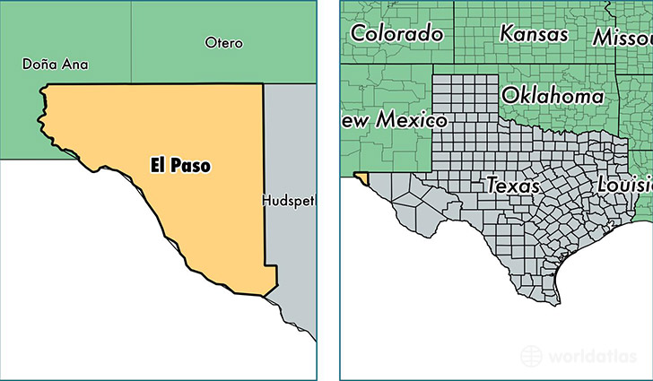
El Paso County is a county equivalent area found in Texas, USA. The county government of El Paso is found in the county seat of El Paso.
With a total 2,628.74 sq. km of land and water area, El Paso County, Texas is the 752nd largest county equivalent area in the United States. Home to 833,487 people, El Paso County has a total 282122 households earning 40157 on average per year.
El Paso County, Texas offers the following attraction to visitors: Chamizal NMEM
El Paso County, Texas - Quick Facts
| FIPS Code | 48141 |
| Area Codes | 915 |
| Time Zone | MST |
| Major Cities | El Paso (population: 771,557), San Elizario (population: 13,649), Canutillo (population: 13,113), Fabens (population: 8,989), Anthony (population: 7,380), Clint (population: 5,964), Tornillo (population: 3,853), Fort Bliss (population: 3,095) |
| Land Area | 321,811 sq miles |
| Water Area | 1,013 sq miles |
| Household Income | $40,157 |
| Housing Units | 282,122 |
| Median Home Value | $111,800 |
| High School Grads | 74% of population |
| Holders of Bachelors Degrees | 21% of population |
| Retail Spending | $11,625 per capita |
| Food & Accomodation Sales | $1,031,298 per capita |
| Universities and Colleges | International Business College Corporation System, International Business College |
This page was last updated on June 30, 2016.