Where is Otero County, New Mexico?
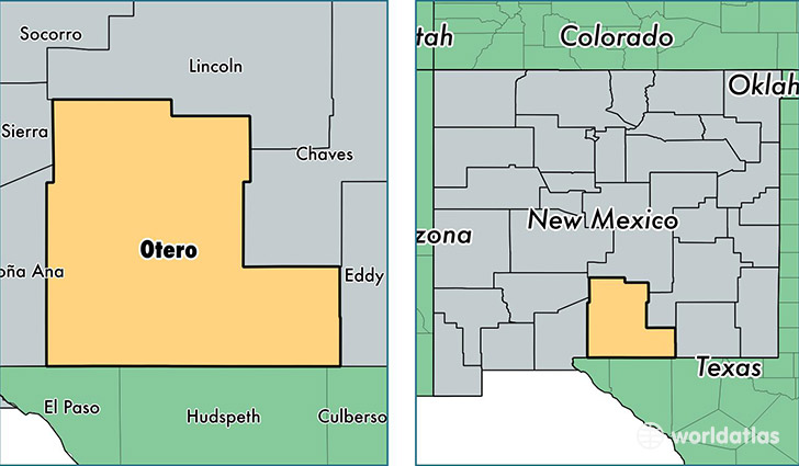
Otero County is a county equivalent area found in New Mexico, USA. The county government of Otero is found in the county seat of Alamogordo.
With a total 17,165.15 sq. km of land and water area, Otero County, New Mexico is the 56th largest county equivalent area in the United States. Home to 65,082 people, Otero County has a total 30769 households earning 39263 on average per year.
Otero County, New Mexico offers the following attraction to visitors: White Sands NM
Otero County, New Mexico - Quick Facts
| FIPS Code | 35035 |
| Area Codes | 575 |
| Time Zone | MST |
| Major Cities | Alamogordo (population: 37,918), Tularosa (population: 5,370), Mescalero (population: 3,743), Holloman AFB (population: 3,161), La Luz (population: 2,375), Cloudcroft (population: 1,812), High Rolls Mountain Park (population: 930), Mayhill (population: 638), Timberon (population: 380), Bent (population: 217) |
| Land Area | 25,128 sq miles |
| Water Area | 6,613 sq miles |
| Household Income | $39,263 |
| Housing Units | 30,769 |
| Median Home Value | $102,400 |
| High School Grads | 84% of population |
| Holders of Bachelors Degrees | 17% of population |
| Retail Spending | $8,338 per capita |
| Food & Accomodation Sales | $92,381 per capita |
This page was last updated on June 30, 2016.