Where is Coleman County, Texas?
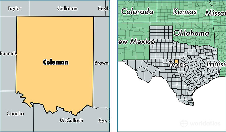
Coleman County is a county equivalent area found in Texas, USA. The county government of Coleman is found in the county seat of Coleman.
With a total 3,318.9 sq. km of land and water area, Coleman County, Texas is the 537th largest county equivalent area in the United States. Home to 8,430 people, Coleman County has a total 5503 households earning 31373 on average per year.
Coleman County, Texas - Quick Facts
| FIPS Code | 48083 |
| Area Codes | 325 |
| Time Zone | CST |
| Major Cities | Coleman (population: 5,761), Santa Anna (population: 1,643), Novice (population: 265), Talpa (population: 246), Burkett (population: 194), Gouldbusk (population: 173), Valera (population: 167), Voss (population: 107), Rockwood (population: 53) |
| Land Area | 3,255 sq miles |
| Water Area | 1,262 sq miles |
| Household Income | $31,373 |
| Housing Units | 5,503 |
| Median Home Value | $60,900 |
| High School Grads | 82% of population |
| Holders of Bachelors Degrees | 15% of population |
| Retail Spending | $5,646 per capita |
| Food & Accomodation Sales | $5,096 per capita |
This page was last updated on June 30, 2016.