Taylor County, TX, USA
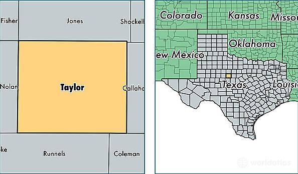
Taylor County is a county equivalent area found in Texas, USA. The county government of Taylor is found in the county seat of Abilene.
With a total 2,380.99 sq. km of land and water area, Taylor County, Texas is the 897th largest county equivalent area in the United States. Home to 135,143 people, Taylor County has a total 56338 households earning 44891 on average per year.
Taylor County, Texas - Quick Facts
| FIPS Code | 48441 |
| Area Codes | 325 |
| Time Zone | CST |
| Major Cities | Abilene (population: 125,854), Merkel (population: 5,041), Tuscola (population: 3,723), Dyess AFB (population: 2,907), Buffalo Gap (population: 1,260), Tye (population: 1,178), Ovalo (population: 802), Trent (population: 666), Lawn (population: 487), Wingate (population: 334) |
| Land Area | 52,179 sq miles |
| Water Area | 915 sq miles |
| Household Income | $44,891 |
| Housing Units | 56,338 |
| Median Home Value | $95,800 |
| High School Grads | 85% of population |
| Holders of Bachelors Degrees | 24% of population |
| Retail Spending | $16,305 per capita |
| Food & Accomodation Sales | $246,182 per capita |