Where is Brown County, Texas?
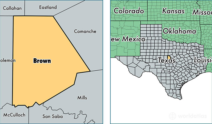
Brown County is a county equivalent area found in Texas, USA. The county government of Brown is found in the county seat of Brownwood.
With a total 2,478.5 sq. km of land and water area, Brown County, Texas is the 825th largest county equivalent area in the United States. Home to 37,653 people, Brown County has a total 18301 households earning 39776 on average per year.
Brown County, Texas - Quick Facts
| FIPS Code | 48049 |
| Area Codes | 325,254 |
| Time Zone | CST |
| Major Cities | Brownwood (population: 25,362), Early (population: 5,037), Bangs (population: 2,922), May (population: 1,777), Blanket (population: 1,359), Zephyr (population: 931), Brookesmith (population: 429) |
| Land Area | 14,538 sq miles |
| Water Area | 944 sq miles |
| Household Income | $39,776 |
| Housing Units | 18,301 |
| Median Home Value | $87,600 |
| High School Grads | 85% of population |
| Holders of Bachelors Degrees | 16% of population |
| Retail Spending | $13,406 per capita |
| Food & Accomodation Sales | $49,890 per capita |
| Universities and Colleges | Howard Payne University |
This page was last updated on June 30, 2016.