Where is Lawrence County, Tennessee?
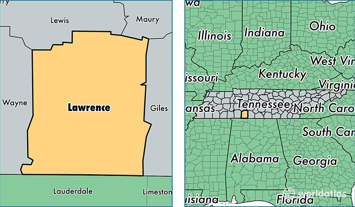
Lawrence County is a county equivalent area found in Tennessee, USA. The county government of Lawrence is found in the county seat of Lawrenceburg.
With a total 1,600.58 sq. km of land and water area, Lawrence County, Tennessee is the 1684th largest county equivalent area in the United States. Home to 42,274 people, Lawrence County has a total 18072 households earning 37368 on average per year.
Lawrence County, Tennessee - Quick Facts
| FIPS Code | 47099 |
| Area Codes | 931 |
| Time Zone | CST |
| Major Cities | Lawrenceburg (population: 22,395), Summertown (population: 5,658), Leoma (population: 5,224), Ethridge (population: 4,568), Loretto (population: 4,113), Iron City (population: 2,818), Westpoint (population: 971), Saint Joseph (population: 900), Five Points (population: 812) |
| Land Area | 16,322 sq miles |
| Water Area | 617 sq miles |
| Household Income | $37,368 |
| Housing Units | 18,072 |
| Median Home Value | $97,900 |
| High School Grads | 79% of population |
| Holders of Bachelors Degrees | 12% of population |
| Retail Spending | $9,318 per capita |
| Food & Accomodation Sales | $37,439 per capita |
This page was last updated on June 30, 2016.