Where is Blount County, Tennessee?
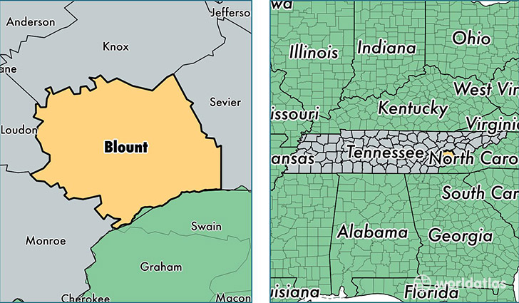
Blount County is a county equivalent area found in Tennessee, USA. The county government of Blount is found in the county seat of Maryville.
With a total 1,467.34 sq. km of land and water area, Blount County, Tennessee is the 1949th largest county equivalent area in the United States. Home to 126,339 people, Blount County has a total 55427 households earning 45991 on average per year.
Blount County, Tennessee - Quick Facts
| FIPS Code | 47009 |
| Area Codes | 865 |
| Time Zone | EST |
| Major Cities | Maryville (population: 82,249), Louisville (population: 11,380), Alcoa (population: 6,881), Friendsville (population: 5,843), Walland (population: 4,459), Rockford (population: 3,852), Townsend (population: 2,749), Tallassee (population: 518) |
| Land Area | 48,780 sq miles |
| Water Area | 559 sq miles |
| Household Income | $45,991 |
| Housing Units | 55,427 |
| Median Home Value | $163,900 |
| High School Grads | 87% of population |
| Holders of Bachelors Degrees | 21% of population |
| Retail Spending | $12,945 per capita |
| Food & Accomodation Sales | $208,506 per capita |
| Universities and Colleges | Maryville College |
This page was last updated on June 30, 2016.