Where is Richland County, South Carolina?
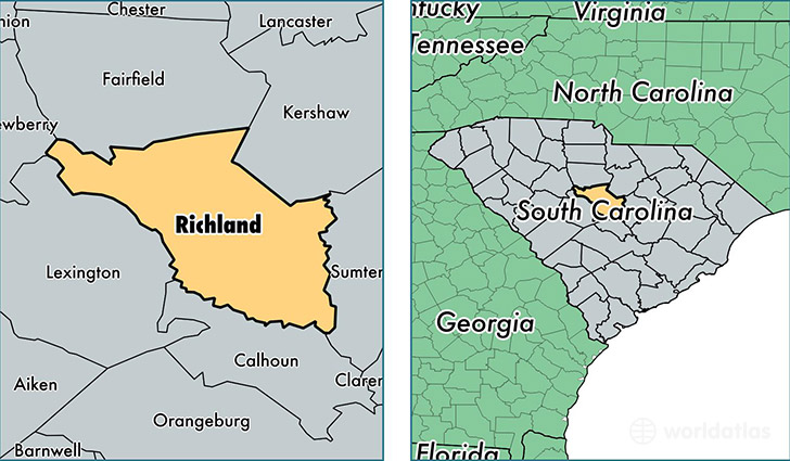
Richland County is a county equivalent area found in South Carolina, USA. The county government of Richland is found in the county seat of Columbia.
With a total 1,998.85 sq. km of land and water area, Richland County, South Carolina is the 1235th largest county equivalent area in the United States. Home to 401,566 people, Richland County has a total 165052 households earning 48359 on average per year.
Richland County, South Carolina offers the following attractions to visitors: South Carolina State Museum, Congaree NP
Richland County, South Carolina - Quick Facts
| FIPS Code | 45079 |
| Area Codes | 803 |
| Time Zone | EST |
| Major Cities | Columbia (population: 312,152), Irmo (population: 33,526), Blythewood (population: 16,772), Hopkins (population: 14,049), Eastover (population: 5,789), Gadsden (population: 2,070), White Rock (population: 560) |
| Land Area | 155,045 sq miles |
| Water Area | 757 sq miles |
| Household Income | $48,359 |
| Housing Units | 165,052 |
| Median Home Value | $149,800 |
| High School Grads | 90% of population |
| Holders of Bachelors Degrees | 36% of population |
| Retail Spending | $12,127 per capita |
| Food & Accomodation Sales | $733,609 per capita |
| Universities and Colleges | Benedict College, Columbia International University, University of South Carolina-Columbia |
This page was last updated on June 30, 2016.