Where is Lexington County, South Carolina?
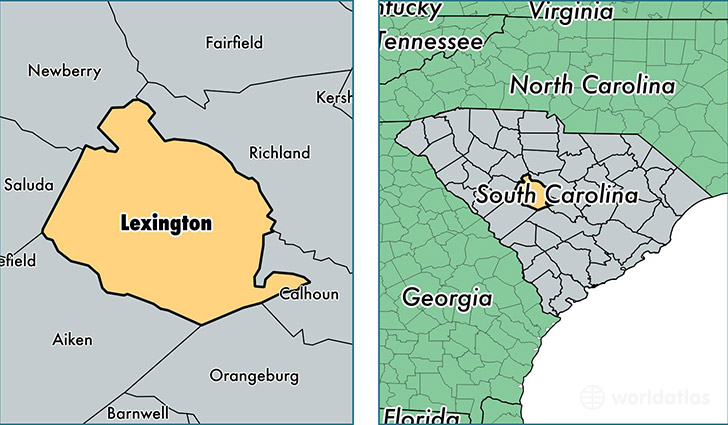
Lexington County is a county equivalent area found in South Carolina, USA. The county government of Lexington is found in the county seat of Lexington.
With a total 1,962.51 sq. km of land and water area, Lexington County, South Carolina is the 1266th largest county equivalent area in the United States. Home to 277,888 people, Lexington County has a total 116813 households earning 54061 on average per year.
Lexington County, South Carolina - Quick Facts
| FIPS Code | 45063 |
| Area Codes | 803 |
| Time Zone | EST |
| Major Cities | Lexington (population: 93,100), West Columbia (population: 53,716), Columbia (population: 29,627), Chapin (population: 19,683), Gaston (population: 19,353), Leesville (population: 15,733), Cayce (population: 11,957), Gilbert (population: 9,905), Batesburg (population: 9,752), Swansea (population: 8,415) |
| Land Area | 107,293 sq miles |
| Water Area | 699 sq miles |
| Household Income | $54,061 |
| Housing Units | 116,813 |
| Median Home Value | $140,100 |
| High School Grads | 88% of population |
| Holders of Bachelors Degrees | 29% of population |
| Retail Spending | $15,027 per capita |
| Food & Accomodation Sales | $434,490 per capita |
This page was last updated on June 30, 2016.