Where is Aiken County, South Carolina?
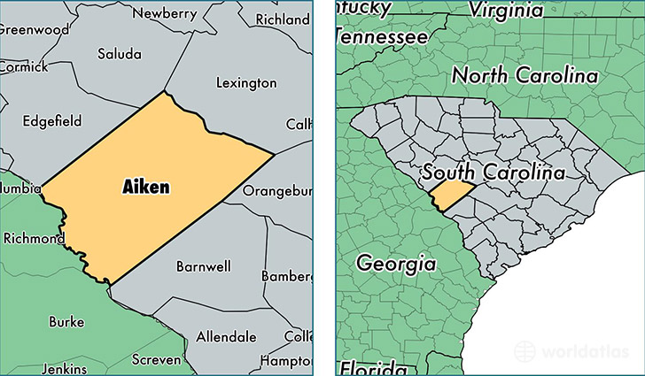
Aiken County is a county equivalent area found in South Carolina, USA. The county government of Aiken is found in the county seat of Aiken.
With a total 2,798.73 sq. km of land and water area, Aiken County, South Carolina is the 684th largest county equivalent area in the United States. Home to 164,753 people, Aiken County has a total 73234 households earning 44509 on average per year.
Aiken County, South Carolina - Quick Facts
| FIPS Code | 45003 |
| Area Codes | 803 |
| Time Zone | EST |
| Major Cities | Aiken (population: 70,661), North Augusta (population: 33,044), Graniteville (population: 8,797), Beech Island (population: 7,805), Warrenville (population: 7,651), Wagener (population: 4,769), Jackson (population: 4,216), Windsor (population: 3,310), Ridge Spring (population: 3,184), Salley (population: 2,574) |
| Land Area | 63,611 sq miles |
| Water Area | 1,071 sq miles |
| Household Income | $44,509 |
| Housing Units | 73,234 |
| Median Home Value | $124,600 |
| High School Grads | 85% of population |
| Holders of Bachelors Degrees | 24% of population |
| Retail Spending | $10,450 per capita |
| Food & Accomodation Sales | $172,893 per capita |
This page was last updated on June 30, 2016.