Where is Laurens County, South Carolina?
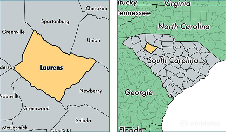
Laurens County is a county equivalent area found in South Carolina, USA. The county government of Laurens is found in the county seat of Laurens.
With a total 1,874.73 sq. km of land and water area, Laurens County, South Carolina is the 1346th largest county equivalent area in the United States. Home to 66,533 people, Laurens County has a total 30372 households earning 37383 on average per year.
Laurens County, South Carolina - Quick Facts
| FIPS Code | 45059 |
| Area Codes | 864 |
| Time Zone | EST |
| Major Cities | Laurens (population: 20,878), Fountain Inn (population: 18,946), Clinton (population: 15,150), Gray Court (population: 9,934), Ware Shoals (population: 4,839), Waterloo (population: 3,926), Cross Hill (population: 2,424), Joanna (population: 1,555), Mountville (population: 1,040) |
| Land Area | 25,689 sq miles |
| Water Area | 714 sq miles |
| Household Income | $37,383 |
| Housing Units | 30,372 |
| Median Home Value | $81,800 |
| High School Grads | 78% of population |
| Holders of Bachelors Degrees | 15% of population |
| Retail Spending | $5,315 per capita |
| Food & Accomodation Sales | $53,708 per capita |
This page was last updated on June 30, 2016.