Where is Spartanburg County, South Carolina?
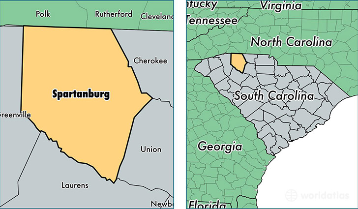
Spartanburg County is a county equivalent area found in South Carolina, USA. The county government of Spartanburg is found in the county seat of Spartanburg.
With a total 2,121.83 sq. km of land and water area, Spartanburg County, South Carolina is the 1133rd largest county equivalent area in the United States. Home to 293,542 people, Spartanburg County has a total 123025 households earning 42919 on average per year.
Spartanburg County, South Carolina - Quick Facts
| FIPS Code | 45083 |
| Area Codes | 864 |
| Time Zone | EST |
| Major Cities | Spartanburg (population: 108,960), Inman (population: 30,599), Boiling Springs (population: 22,628), Woodruff (population: 14,690), Chesnee (population: 14,656), Moore (population: 13,247), Duncan (population: 11,507), Lyman (population: 10,304), Campobello (population: 8,920), Cowpens (population: 8,502) |
| Land Area | 113,337 sq miles |
| Water Area | 808 sq miles |
| Household Income | $42,919 |
| Housing Units | 123,025 |
| Median Home Value | $121,300 |
| High School Grads | 82% of population |
| Holders of Bachelors Degrees | 21% of population |
| Retail Spending | $13,148 per capita |
| Food & Accomodation Sales | $411,477 per capita |
| Universities and Colleges | Spartanburg Community College |
This page was last updated on June 30, 2016.