Where is Abbeville County, South Carolina?
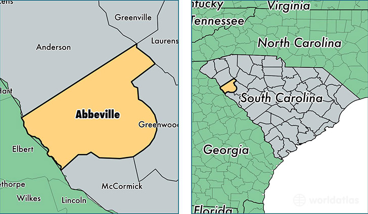
Abbeville County is a county equivalent area found in South Carolina, USA. The county government of Abbeville is found in the county seat of Abbeville.
With a total 1,323.46 sq. km of land and water area, Abbeville County, South Carolina is the 2133rd largest county equivalent area in the United States. Home to 24,965 people, Abbeville County has a total 11934 households earning 35947 on average per year.
Abbeville County, South Carolina - Quick Facts
| FIPS Code | 45001 |
| Area Codes | 864 |
| Time Zone | EST |
| Major Cities | Abbeville (population: 12,772), Donalds (population: 2,913), Calhoun Falls (population: 2,724), Due West (population: 1,720), Lowndesville (population: 116) |
| Land Area | 9,639 sq miles |
| Water Area | 490 sq miles |
| Household Income | $35,947 |
| Housing Units | 11,934 |
| Median Home Value | $91,200 |
| High School Grads | 77% of population |
| Holders of Bachelors Degrees | 12% of population |
| Retail Spending | $2,841 per capita |
| Food & Accomodation Sales | $10,963 per capita |
This page was last updated on June 30, 2016.