Where is Warren County, Pennsylvania?
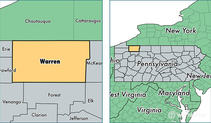
Warren County is a county equivalent area found in Pennsylvania, USA. The county government of Warren is found in the county seat of Warren.
With a total 2,327.27 sq. km of land and water area, Warren County, Pennsylvania is the 975th largest county equivalent area in the United States. Home to 40,703 people, Warren County has a total 23309 households earning 43764 on average per year.
Warren County, Pennsylvania - Quick Facts
| FIPS Code | 42123 |
| Area Codes | 814 |
| Time Zone | EST |
| Major Cities | Warren (population: 18,281), Russell (population: 3,486), Youngsville (population: 3,207), Sugar Grove (population: 2,693), Sheffield (population: 2,203), Pittsfield (population: 1,958), Clarendon (population: 1,818), Tidioute (population: 1,689), Bear Lake (population: 940), Columbus (population: 907) |
| Land Area | 15,716 sq miles |
| Water Area | 884 sq miles |
| Household Income | $43,764 |
| Housing Units | 23,309 |
| Median Home Value | $88,700 |
| High School Grads | 90% of population |
| Holders of Bachelors Degrees | 18% of population |
| Retail Spending | $11,837 per capita |
| Food & Accomodation Sales | $34,962 per capita |
This page was last updated on June 30, 2016.