Where is Chautauqua County, New York?
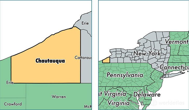
Chautauqua County is a county equivalent area found in New York, USA. The county government of Chautauqua is found in the county seat of Mayville.
With a total 3,885.46 sq. km of land and water area, Chautauqua County, New York is the 449th largest county equivalent area in the United States. Home to 132,053 people, Chautauqua County has a total 66488 households earning 42429 on average per year.
Chautauqua County, New York - Quick Facts
| FIPS Code | 36013 |
| Area Codes | 716 |
| Time Zone | EST |
| Major Cities | Jamestown (population: 40,317), Dunkirk (population: 14,919), Fredonia (population: 14,719), Westfield (population: 5,069), Silver Creek (population: 4,982), Lakewood (population: 4,381), Falconer (population: 3,794), Frewsburg (population: 3,613), Ashville (population: 3,504), Mayville (population: 3,451) |
| Land Area | 50,986 sq miles |
| Water Area | 1,060 sq miles |
| Household Income | $42,429 |
| Housing Units | 66,488 |
| Median Home Value | $83,500 |
| High School Grads | 87% of population |
| Holders of Bachelors Degrees | 21% of population |
| Retail Spending | $10,178 per capita |
| Food & Accomodation Sales | $181,164 per capita |
| Universities and Colleges | SUNY at Fredonia |
This page was last updated on June 30, 2016.