Where is Tulsa County, Oklahoma?
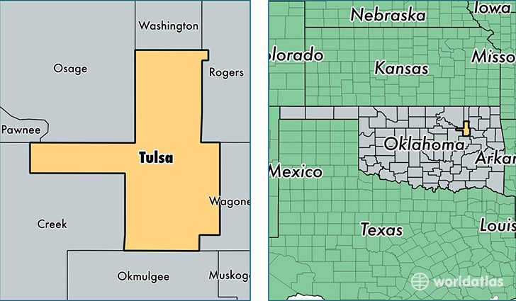
Tulsa County is a county equivalent area found in Oklahoma, USA. The county government of Tulsa is found in the county seat of Tulsa.
With a total 1,520.38 sq. km of land and water area, Tulsa County, Oklahoma is the 1791st largest county equivalent area in the United States. Home to 629,598 people, Tulsa County has a total 274259 households earning 48181 on average per year.
Tulsa County, Oklahoma - Quick Facts
| FIPS Code | 40143 |
| Area Codes | 918 |
| Time Zone | CST |
| Major Cities | Tulsa (population: 417,810), Broken Arrow (population: 84,405), Owasso (population: 39,342), Sand Springs (population: 30,277), Bixby (population: 22,850), Collinsville (population: 17,654), Jenks (population: 15,420), Glenpool (population: 10,338), Sperry (population: 5,189), Oakhurst (population: 326) |
| Land Area | 243,089 sq miles |
| Water Area | 570 sq miles |
| Household Income | $48,181 |
| Housing Units | 274,259 |
| Median Home Value | $134,100 |
| High School Grads | 89% of population |
| Holders of Bachelors Degrees | 30% of population |
| Retail Spending | $16,366 per capita |
| Food & Accomodation Sales | $1,226,453 per capita |
| Universities and Colleges | Broken Arrow Beauty College Inc, CC's Cosmetology College, Vatterott College-Tulsa |
This page was last updated on June 30, 2016.