Where is Okmulgee County, Oklahoma?
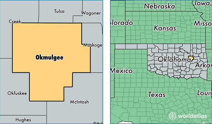
Okmulgee County is a county equivalent area found in Oklahoma, USA. The county government of Okmulgee is found in the county seat of Okmulgee.
With a total 1,819.04 sq. km of land and water area, Okmulgee County, Oklahoma is the 1432nd largest county equivalent area in the United States. Home to 39,095 people, Okmulgee County has a total 17745 households earning 39156 on average per year.
Okmulgee County, Oklahoma - Quick Facts
| FIPS Code | 40111 |
| Area Codes | 918 |
| Time Zone | CST |
| Major Cities | Okmulgee (population: 17,083), Henryetta (population: 10,357), Mounds (population: 7,175), Beggs (population: 4,555), Morris (population: 3,190), Dewar (population: 907), Schulter (population: 279), Preston (population: 244) |
| Land Area | 15,095 sq miles |
| Water Area | 697 sq miles |
| Household Income | $39,156 |
| Housing Units | 17,745 |
| Median Home Value | $77,100 |
| High School Grads | 85% of population |
| Holders of Bachelors Degrees | 14% of population |
| Retail Spending | $8,391 per capita |
| Food & Accomodation Sales | $29,542 per capita |
This page was last updated on June 30, 2016.