Where is Pawnee County, Oklahoma?
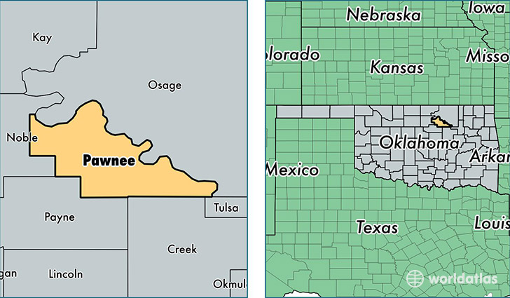
Pawnee County is a county equivalent area found in Oklahoma, USA. The county government of Pawnee is found in the county seat of Pawnee.
With a total 1,540.42 sq. km of land and water area, Pawnee County, Oklahoma is the 1759th largest county equivalent area in the United States. Home to 16,401 people, Pawnee County has a total 7683 households earning 44375 on average per year.
Pawnee County, Oklahoma - Quick Facts
| FIPS Code | 40117 |
| Area Codes | 918 |
| Time Zone | CST |
| Major Cities | Cleveland (population: 7,248), Pawnee (population: 4,232), Jennings (population: 2,254), Terlton (population: 1,828), Ralston (population: 692), Maramec (population: 309), Hallett (population: 149) |
| Land Area | 6,332 sq miles |
| Water Area | 568 sq miles |
| Household Income | $44,375 |
| Housing Units | 7,683 |
| Median Home Value | $83,500 |
| High School Grads | 87% of population |
| Holders of Bachelors Degrees | 17% of population |
| Retail Spending | $5,005 per capita |
| Food & Accomodation Sales | $10,412 per capita |
This page was last updated on June 30, 2016.