Where is Leflore County, Oklahoma?
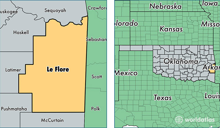
Leflore County is a county equivalent area found in Oklahoma, USA. The county government of Leflore is found in the county seat of Poteau.
With a total 4,166.14 sq. km of land and water area, Leflore County, Oklahoma is the 418th largest county equivalent area in the United States. Home to 49,761 people, Leflore County has a total 21524 households earning 36542 on average per year.
Leflore County, Oklahoma - Quick Facts
| FIPS Code | 40079 |
| Area Codes | 580,918 |
| Time Zone | CST |
| Major Cities | Poteau (population: 11,514), Spiro (population: 6,667), Heavener (population: 5,898), Pocola (population: 4,053), Talihina (population: 3,721), Wister (population: 3,680), Howe (population: 2,669), Cameron (population: 2,262), Bokoshe (population: 2,133), Arkoma (population: 1,971) |
| Land Area | 19,213 sq miles |
| Water Area | 1,589 sq miles |
| Household Income | $36,542 |
| Housing Units | 21,524 |
| Median Home Value | $80,100 |
| High School Grads | 81% of population |
| Holders of Bachelors Degrees | 13% of population |
| Retail Spending | $7,583 per capita |
| Food & Accomodation Sales | $25,819 per capita |
This page was last updated on June 30, 2016.