Where is Muskogee County, Oklahoma?
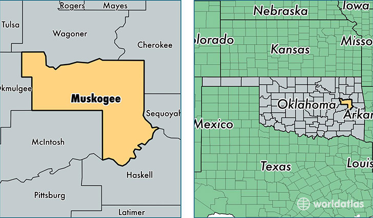
Muskogee County is a county equivalent area found in Oklahoma, USA. The county government of Muskogee is found in the county seat of Muskogee.
With a total 2,175.02 sq. km of land and water area, Muskogee County, Oklahoma is the 1097th largest county equivalent area in the United States. Home to 69,966 people, Muskogee County has a total 30797 households earning 38502 on average per year.
Muskogee County, Oklahoma - Quick Facts
| FIPS Code | 40101 |
| Area Codes | 918 |
| Time Zone | CST |
| Major Cities | Muskogee (population: 47,924), Fort Gibson (population: 9,111), Haskell (population: 5,073), Porum (population: 3,155), Warner (population: 2,518), Taft (population: 2,021), Oktaha (population: 1,937), Webbers Falls (population: 1,683), Council Hill (population: 886), Braggs (population: 867) |
| Land Area | 27,014 sq miles |
| Water Area | 810 sq miles |
| Household Income | $38,502 |
| Housing Units | 30,797 |
| Median Home Value | $92,200 |
| High School Grads | 85% of population |
| Holders of Bachelors Degrees | 18% of population |
| Retail Spending | $12,789 per capita |
| Food & Accomodation Sales | $88,050 per capita |
| Universities and Colleges | Connors State College |
This page was last updated on June 30, 2016.