Where is Henry County, Ohio?
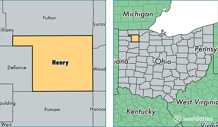
Henry County is a county equivalent area found in Ohio, USA. The county government of Henry is found in the county seat of Napoleon.
With a total 1,087.15 sq. km of land and water area, Henry County, Ohio is the 2493rd largest county equivalent area in the United States. Home to 27,937 people, Henry County has a total 11881 households earning 49439 on average per year.
Henry County, Ohio - Quick Facts
| FIPS Code | 39069 |
| Area Codes | 419 |
| Time Zone | EST |
| Major Cities | Napoleon (population: 13,949), Liberty Center (population: 3,990), Deshler (population: 2,941), Holgate (population: 2,272), McClure (population: 1,773), Hamler (population: 1,228), Malinta (population: 752), New Bavaria (population: 695), Ridgeville Corners (population: 198), Grelton (population: 61) |
| Land Area | 10,787 sq miles |
| Water Area | 416 sq miles |
| Household Income | $49,439 |
| Housing Units | 11,881 |
| Median Home Value | $114,000 |
| High School Grads | 90% of population |
| Holders of Bachelors Degrees | 14% of population |
| Retail Spending | $9,260 per capita |
| Food & Accomodation Sales | $17,831 per capita |
This page was last updated on June 30, 2016.