Where is Columbiana County, Ohio?
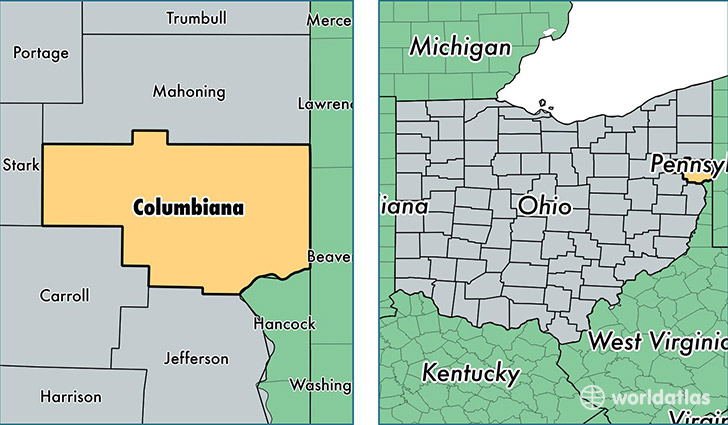
Columbiana County is a county equivalent area found in Ohio, USA. The county government of Columbiana is found in the county seat of Lisbon.
With a total 1,384.94 sq. km of land and water area, Columbiana County, Ohio is the 2056th largest county equivalent area in the United States. Home to 105,686 people, Columbiana County has a total 46560 households earning 42300 on average per year.
Columbiana County, Ohio - Quick Facts
| FIPS Code | 39029 |
| Area Codes | 330 |
| Time Zone | EST |
| Major Cities | Salem (population: 26,386), East Liverpool (population: 23,148), Lisbon (population: 13,523), Columbiana (population: 10,196), East Palestine (population: 7,171), Wellsville (population: 7,093), Leetonia (population: 4,668), New Waterford (population: 3,406), Salineville (population: 3,152), Hanoverton (population: 2,395) |
| Land Area | 40,806 sq miles |
| Water Area | 532 sq miles |
| Household Income | $42,300 |
| Housing Units | 46,560 |
| Median Home Value | $96,000 |
| High School Grads | 87% of population |
| Holders of Bachelors Degrees | 13% of population |
| Retail Spending | $9,782 per capita |
| Food & Accomodation Sales | $87,515 per capita |
This page was last updated on June 30, 2016.