Where is Orleans County, New York?
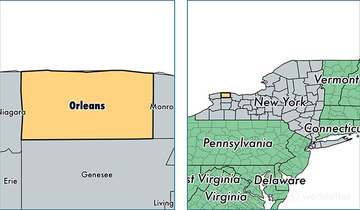
Orleans County is a county equivalent area found in New York, USA. The county government of Orleans is found in the county seat of Albion.
With a total 2,117.12 sq. km of land and water area, Orleans County, New York is the 1137th largest county equivalent area in the United States. Home to 41,984 people, Orleans County has a total 18261 households earning 48502 on average per year.
Orleans County, New York - Quick Facts
| FIPS Code | 36073 |
| Area Codes | 585 |
| Time Zone | EST |
| Major Cities | Albion (population: 14,475), Medina (population: 11,170), Holley (population: 8,008), Lyndonville (population: 2,954), Kendall (population: 2,286), Kent (population: 1,730), Waterport (population: 1,174), Knowlesville (population: 274) |
| Land Area | 817 sq miles |
| Water Area | 391 sq miles |
| Household Income | $48,502 |
| Housing Units | 18,261 |
| Median Home Value | $91,100 |
| High School Grads | 86% of population |
| Holders of Bachelors Degrees | 16% of population |
| Retail Spending | $6,198 per capita |
| Food & Accomodation Sales | $21,341 per capita |
This page was last updated on May 10, 2017.