Where is Monroe County, New York?
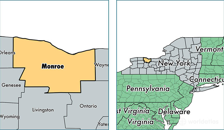
Monroe County is a county equivalent area found in New York, USA. The county government of Monroe is found in the county seat of Rochester.
With a total 3,539.8 sq. km of land and water area, Monroe County, New York is the 496th largest county equivalent area in the United States. Home to 749,857 people, Monroe County has a total 320946 households earning 52394 on average per year.
Monroe County, New York offers the following attraction to visitors: Seabreeze Amusement Park
Monroe County, New York - Quick Facts
| FIPS Code | 36055 |
| Area Codes | 585 |
| Time Zone | EST |
| Major Cities | Rochester (population: 480,344), Webster (population: 50,821), Fairport (population: 41,295), Pittsford (population: 31,572), Brockport (population: 20,559), Penfield (population: 19,896), Spencerport (population: 18,141), Hilton (population: 17,896), West Henrietta (population: 10,303), Henrietta (population: 9,147) |
| Land Area | 289,521 sq miles |
| Water Area | 657 sq miles |
| Household Income | $52,394 |
| Housing Units | 320,946 |
| Median Home Value | $136,000 |
| High School Grads | 90% of population |
| Holders of Bachelors Degrees | 36% of population |
| Retail Spending | $11,628 per capita |
| Food & Accomodation Sales | $1,061,299 per capita |
| Universities and Colleges | Nazareth College, Roberts Wesleyan College, Rochester Institute of Technology, University of Rochester, Saint John Fisher College |
This page was last updated on June 30, 2016.