Niagara County, NY, USA
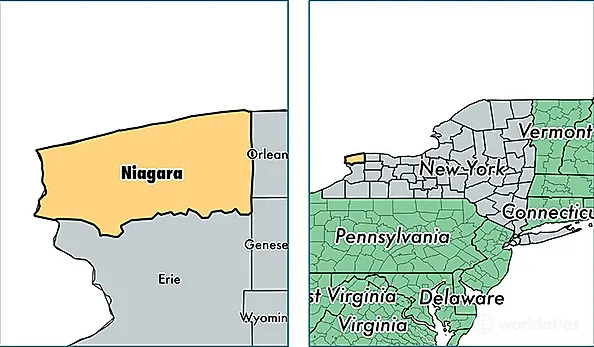
Niagara County is a county equivalent area found in New York, USA. The county government of Niagara is found in the county seat of Lockport.
With a total 2,951.73 sq. km of land and water area, Niagara County, New York is the 630th largest county equivalent area in the United States. Home to 213,525 people, Niagara County has a total 98884 households earning 47955 on average per year.
Niagara County, New York - Quick Facts
| FIPS Code | 36063 |
| Area Codes | 716 |
| Time Zone | EST |
| Major Cities | Niagara Falls (population: 65,779), Lockport (population: 50,351), North Tonawanda (population: 44,819), Lewiston (population: 11,017), Sanborn (population: 6,179), Newfane (population: 5,845), Youngstown (population: 5,758), Ransomville (population: 5,250), Gasport (population: 5,008), Middleport (population: 4,539) |
| Land Area | 82,442 sq miles |
| Water Area | 522 sq miles |
| Household Income | $47,955 |
| Housing Units | 98,884 |
| Median Home Value | $105,200 |
| High School Grads | 90% of population |
| Holders of Bachelors Degrees | 22% of population |
| Retail Spending | $9,689 per capita |
| Food & Accomodation Sales | $662,356 per capita |
| Universities and Colleges | Niagara University |