Where is Cortland County, New York?
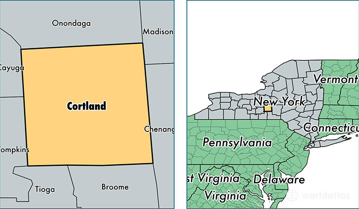
Cortland County is a county equivalent area found in New York, USA. The county government of Cortland is found in the county seat of Cortland.
With a total 1,298.93 sq. km of land and water area, Cortland County, New York is the 2176th largest county equivalent area in the United States. Home to 49,024 people, Cortland County has a total 20447 households earning 47151 on average per year.
Cortland County, New York - Quick Facts
| FIPS Code | 36023 |
| Area Codes | 607,315 |
| Time Zone | EST |
| Major Cities | Cortland (population: 30,193), Homer (population: 6,752), Marathon (population: 3,980), Cincinnatus (population: 2,762), McGraw (population: 2,515), Truxton (population: 1,860), Willet (population: 689), Preble (population: 597), Smithville Flats (population: 524), Harford (population: 172) |
| Land Area | 18,928 sq miles |
| Water Area | 499 sq miles |
| Household Income | $47,151 |
| Housing Units | 20,447 |
| Median Home Value | $105,700 |
| High School Grads | 90% of population |
| Holders of Bachelors Degrees | 24% of population |
| Retail Spending | $10,828 per capita |
| Food & Accomodation Sales | $84,612 per capita |
| Universities and Colleges | SUNY College at Cortland |
This page was last updated on June 30, 2016.