Where is Carroll County, New Hampshire?
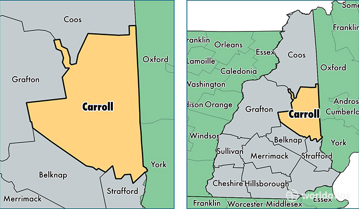
Carroll County is a county equivalent area found in New Hampshire, USA. The county government of Carroll is found in the county seat of Ossipee.
With a total 2,570.39 sq. km of land and water area, Carroll County, New Hampshire is the 780th largest county equivalent area in the United States. Home to 47,399 people, Carroll County has a total 39985 households earning 50866 on average per year.
Carroll County, New Hampshire - Quick Facts
| FIPS Code | 33003 |
| Area Codes | 603 |
| Time Zone | EST |
| Major Cities | Wolfeboro (population: 6,280), North Conway (population: 4,034), Moultonborough (population: 4,027), Sanbornville (population: 3,789), Conway (population: 3,787), Center Conway (population: 3,232), Center Ossipee (population: 2,316), Tamworth (population: 2,100), Ossipee (population: 1,687), East Wakefield (population: 1,601) |
| Land Area | 18,301 sq miles |
| Water Area | 931 sq miles |
| Household Income | $50,866 |
| Housing Units | 39,985 |
| Median Home Value | $226,200 |
| High School Grads | 92% of population |
| Holders of Bachelors Degrees | 31% of population |
| Retail Spending | $18,569 per capita |
| Food & Accomodation Sales | $214,906 per capita |
This page was last updated on June 30, 2016.