Where is Belknap County, New Hampshire?
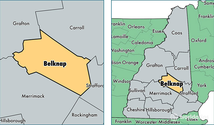
Belknap County is a county equivalent area found in New Hampshire, USA. The county government of Belknap is found in the county seat of Laconia.
With a total 1,213.62 sq. km of land and water area, Belknap County, New Hampshire is the 2287th largest county equivalent area in the United States. Home to 60,305 people, Belknap County has a total 37462 households earning 58654 on average per year.
Belknap County, New Hampshire - Quick Facts
| FIPS Code | 33001 |
| Area Codes | 603 |
| Time Zone | EST |
| Major Cities | Laconia (population: 16,026), Tilton (population: 8,348), Belmont (population: 7,459), Gilford (population: 7,141), Meredith (population: 6,243), Alton (population: 3,730), Center Barnstead (population: 3,674), Sanbornton (population: 2,977), Gilmanton (population: 2,262), New Hampton (population: 2,177) |
| Land Area | 23,284 sq miles |
| Water Area | 400 sq miles |
| Household Income | $58,654 |
| Housing Units | 37,462 |
| Median Home Value | $219,900 |
| High School Grads | 91% of population |
| Holders of Bachelors Degrees | 28% of population |
| Retail Spending | $22,099 per capita |
| Food & Accomodation Sales | $151,572 per capita |
| Universities and Colleges | Empire Beauty School-Laconia, Lakes Region Community College |
This page was last updated on June 30, 2016.