Where is Oxford County, Maine?
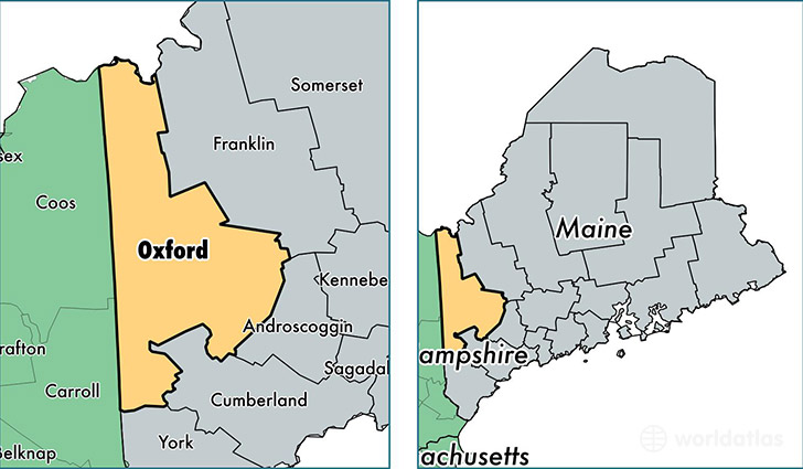
Oxford County is a county equivalent area found in Maine, USA. The county government of Oxford is found in the county seat of South Paris.
With a total 5,635.08 sq. km of land and water area, Oxford County, Maine is the 287th largest county equivalent area in the United States. Home to 57,238 people, Oxford County has a total 36073 households earning 40674 on average per year.
Oxford County, Maine - Quick Facts
| FIPS Code | 23017 |
| Area Codes | 207 |
| Time Zone | EST |
| Major Cities | Oxford (population: 5,844), Rumford (population: 5,805), South Paris (population: 5,084), Norway (population: 4,992), Fryeburg (population: 3,810), Bethel (population: 3,291), Buckfield (population: 3,058), Dixfield (population: 3,022), Mexico (population: 2,664), West Paris (population: 1,803) |
| Land Area | 22,100 sq miles |
| Water Area | 2,077 sq miles |
| Household Income | $40,674 |
| Housing Units | 36,073 |
| Median Home Value | $137,200 |
| High School Grads | 90% of population |
| Holders of Bachelors Degrees | 19% of population |
| Retail Spending | $8,647 per capita |
| Food & Accomodation Sales | $92,619 per capita |
This page was last updated on June 30, 2016.