Where is Ramsey County, North Dakota?
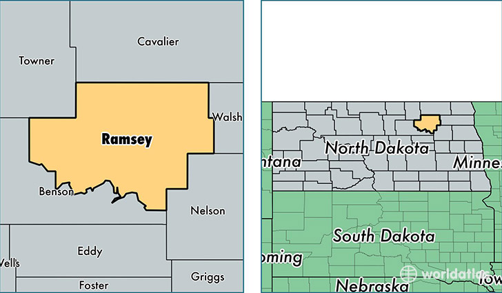
Ramsey County is a county equivalent area found in North Dakota, USA. The county government of Ramsey is found in the county seat of Devils Lake.
With a total 3,369.35 sq. km of land and water area, Ramsey County, North Dakota is the 524th largest county equivalent area in the United States. Home to 11,564 people, Ramsey County has a total 5728 households earning 48604 on average per year.
Ramsey County, North Dakota - Quick Facts
| FIPS Code | 38071 |
| Area Codes | 701 |
| Time Zone | CST |
| Major Cities | Devils Lake (population: 9,937), Crary (population: 392), Edmore (population: 343), Starkweather (population: 337), Webster (population: 164), Brocket (population: 161), Lawton (population: 158), Hampden (population: 105), Churchs Ferry (population: 93), Penn (population: 82) |
| Land Area | 4,465 sq miles |
| Water Area | 1,187 sq miles |
| Household Income | $48,604 |
| Housing Units | 5,728 |
| Median Home Value | $89,600 |
| High School Grads | 88% of population |
| Holders of Bachelors Degrees | 21% of population |
| Retail Spending | $20,873 per capita |
| Food & Accomodation Sales | $21,714 per capita |
This page was last updated on June 30, 2016.