Where is Benson County, North Dakota?
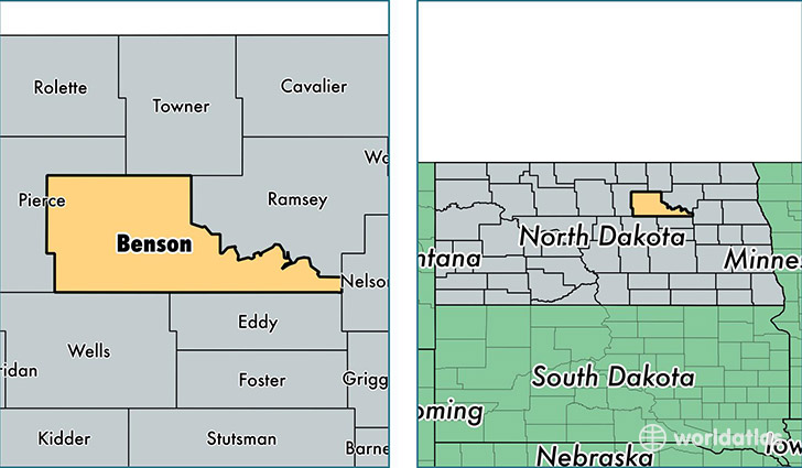
Benson County is a county equivalent area found in North Dakota, USA. The county government of Benson is found in the county seat of Minnewaukan.
With a total 3,728.28 sq. km of land and water area, Benson County, North Dakota is the 471st largest county equivalent area in the United States. Home to 6,833 people, Benson County has a total 2976 households earning 36491 on average per year.
Benson County, North Dakota - Quick Facts
| FIPS Code | 38005 |
| Area Codes | 701 |
| Time Zone | CST |
| Major Cities | Fort Totten (population: 1,719), Saint Michael (population: 1,299), Maddock (population: 737), Leeds (population: 659), Minnewaukan (population: 485), Oberon (population: 369), Tokio (population: 365), Esmond (population: 325), Warwick (population: 319), York (population: 136) |
| Land Area | 2,638 sq miles |
| Water Area | 1,389 sq miles |
| Household Income | $36,491 |
| Housing Units | 2,976 |
| Median Home Value | $52,800 |
| High School Grads | 83% of population |
| Holders of Bachelors Degrees | 12% of population |
| Retail Spending | $2,928 per capita |
| Food & Accomodation Sales | $2,083 per capita |
| Universities and Colleges | Cankdeska Cikana Community College |
This page was last updated on June 30, 2016.