Where is Hertford County, North Carolina?
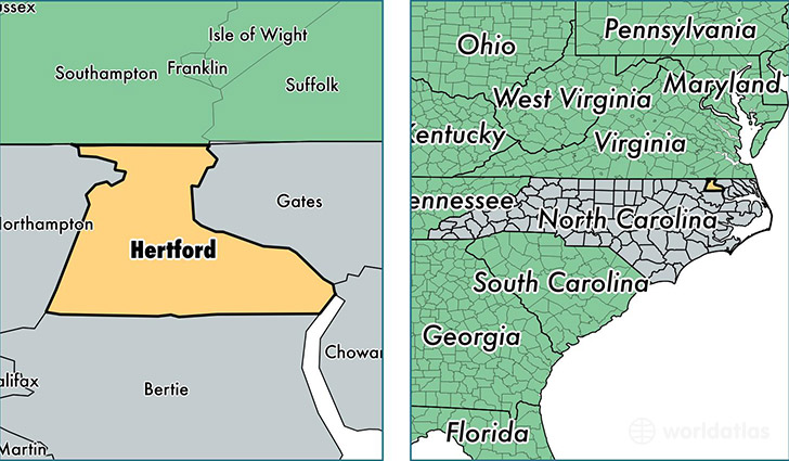
Hertford County is a county equivalent area found in North Carolina, USA. The county government of Hertford is found in the county seat of Winton.
With a total 933.31 sq. km of land and water area, Hertford County, North Carolina is the 2715th largest county equivalent area in the United States. Home to 24,308 people, Hertford County has a total 10485 households earning 33406 on average per year.
Hertford County, North Carolina - Quick Facts
| FIPS Code | 37091 |
| Area Codes | 252 |
| Time Zone | EST |
| Major Cities | Ahoskie (population: 11,870), Murfreesboro (population: 6,385), Winton (population: 2,407), Como (population: 1,331), Cofield (population: 1,020), Harrellsville (population: 892) |
| Land Area | 9,385 sq miles |
| Water Area | 353 sq miles |
| Household Income | $33,406 |
| Housing Units | 10,485 |
| Median Home Value | $84,200 |
| High School Grads | 78% of population |
| Holders of Bachelors Degrees | 15% of population |
| Retail Spending | $10,828 per capita |
| Food & Accomodation Sales | $25,422 per capita |
| Universities and Colleges | Roanoke-Chowan Community College |
This page was last updated on June 30, 2016.