Where is Gates County, North Carolina?
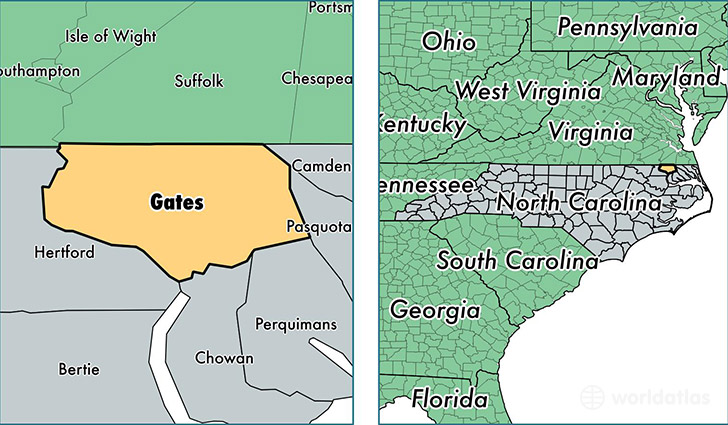
Gates County is a county equivalent area found in North Carolina, USA. The county government of Gates is found in the county seat of Gatesville.
With a total 895.33 sq. km of land and water area, Gates County, North Carolina is the 2743rd largest county equivalent area in the United States. Home to 11,567 people, Gates County has a total 5179 households earning 46592 on average per year.
Gates County, North Carolina - Quick Facts
| FIPS Code | 37073 |
| Area Codes | 252 |
| Time Zone | EST |
| Major Cities | Gates (population: 4,216), Corapeake (population: 1,863), Sunbury (population: 1,672), Eure (population: 1,652), Gatesville (population: 1,464), Hobbsville (population: 1,179) |
| Land Area | 4,466 sq miles |
| Water Area | 341 sq miles |
| Household Income | $46,592 |
| Housing Units | 5,179 |
| Median Home Value | $150,200 |
| High School Grads | 83% of population |
| Holders of Bachelors Degrees | 12% of population |
| Retail Spending | $2,895 per capita |
| Food & Accomodation Sales | $2,348 per capita |
This page was last updated on June 30, 2016.