Bertie County, NC, USA
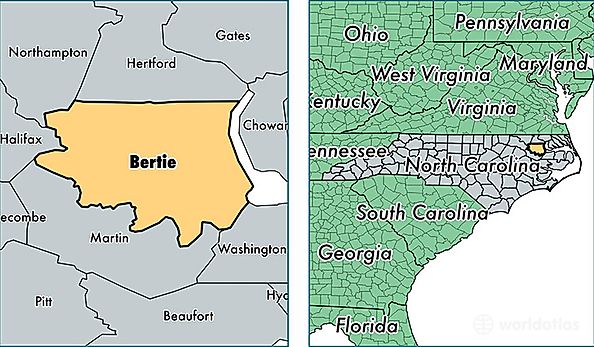
Bertie County is a county equivalent area found in North Carolina, USA. The county government of Bertie is found in the county seat of Windsor.
With a total 1,919.83 sq. km of land and water area, Bertie County, North Carolina is the 1297th largest county equivalent area in the United States. Home to 20,106 people, Bertie County has a total 9698 households earning 30768 on average per year.
Bertie County, North Carolina - Quick Facts
| FIPS Code | 37015 |
| Area Codes | 252 |
| Time Zone | EST |
| Major Cities | Windsor (population: 10,108), Aulander (population: 3,914), Colerain (population: 3,047), Lewiston Woodville (population: 1,498), Merry Hill (population: 1,315), Kelford (population: 908), Roxobel (population: 363), Powellsville (population: 355) |
| Land Area | 7,763 sq miles |
| Water Area | 699 sq miles |
| Household Income | $30,768 |
| Housing Units | 9,698 |
| Median Home Value | $79,100 |
| High School Grads | 73% of population |
| Holders of Bachelors Degrees | 11% of population |
| Retail Spending | $4,780 per capita |
| Food & Accomodation Sales | $5,618 per capita |