Where is McCone County, Montana?
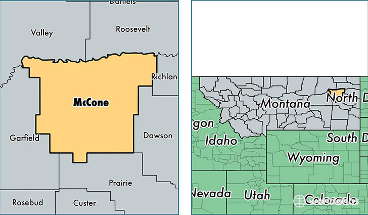
McCone County is a county equivalent area found in Montana, USA. The county government of McCone is found in the county seat of Circle.
With a total 6,948.42 sq. km of land and water area, McCone County, Montana is the 208th largest county equivalent area in the United States. Home to 1,694 people, McCone County has a total 1006 households earning 46667 on average per year.
McCone County, Montana - Quick Facts
| FIPS Code | 30055 |
| Area Codes | 406 |
| Time Zone | MST |
| Major Cities | Circle (population: 1,115), Vida (population: 202), Brockway (population: 117) |
| Land Area | 654 sq miles |
| Water Area | 2,643 sq miles |
| Household Income | $46,667 |
| Housing Units | 1,006 |
| Median Home Value | $101,600 |
| High School Grads | 94% of population |
| Holders of Bachelors Degrees | 19% of population |
| Retail Spending | $10,497 per capita |
| Food & Accomodation Sales | $745 per capita |
This page was last updated on June 30, 2016.