Where is Pettis County, Missouri?
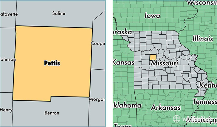
Pettis County is a county equivalent area found in Missouri, USA. The county government of Pettis is found in the county seat of Sedalia.
With a total 1,777.45 sq. km of land and water area, Pettis County, Missouri is the 1477th largest county equivalent area in the United States. Home to 42,225 people, Pettis County has a total 18140 households earning 38580 on average per year.
Pettis County, Missouri - Quick Facts
| FIPS Code | 29159 |
| Area Codes | 660 |
| Time Zone | CST |
| Major Cities | Sedalia (population: 34,362), La Monte (population: 1,904), Smithton (population: 1,823), Green Ridge (population: 1,656), Hughesville (population: 937), Houstonia (population: 760), Mora (population: 385) |
| Land Area | 16,303 sq miles |
| Water Area | 682 sq miles |
| Household Income | $38,580 |
| Housing Units | 18,140 |
| Median Home Value | $98,200 |
| High School Grads | 82% of population |
| Holders of Bachelors Degrees | 15% of population |
| Retail Spending | $13,415 per capita |
| Food & Accomodation Sales | $55,361 per capita |
| Universities and Colleges | State Fair Community College |
This page was last updated on June 30, 2016.