Where is Benton County, Missouri?
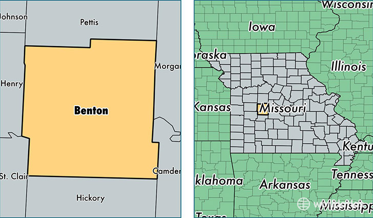
Benton County is a county equivalent area found in Missouri, USA. The county government of Benton is found in the county seat of Warsaw.
With a total 1,949.04 sq. km of land and water area, Benton County, Missouri is the 1276th largest county equivalent area in the United States. Home to 18,806 people, Benton County has a total 13966 households earning 32951 on average per year.
Benton County, Missouri - Quick Facts
| FIPS Code | 29015 |
| Area Codes | 660 |
| Time Zone | CST |
| Major Cities | Warsaw (population: 10,466), Cole Camp (population: 3,155), Lincoln (population: 3,030), Edwards (population: 1,986), Ionia (population: 195) |
| Land Area | 7,261 sq miles |
| Water Area | 704 sq miles |
| Household Income | $32,951 |
| Housing Units | 13,966 |
| Median Home Value | $106,400 |
| High School Grads | 83% of population |
| Holders of Bachelors Degrees | 11% of population |
| Retail Spending | $9,379 per capita |
| Food & Accomodation Sales | $13,167 per capita |
This page was last updated on June 30, 2016.