Where is Johnson County, Missouri?
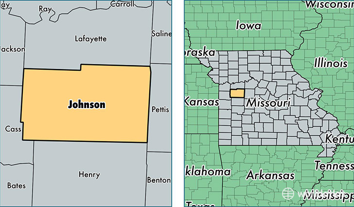
Johnson County is a county equivalent area found in Missouri, USA. The county government of Johnson is found in the county seat of Warrensburg.
With a total 2,157.96 sq. km of land and water area, Johnson County, Missouri is the 1110th largest county equivalent area in the United States. Home to 54,362 people, Johnson County has a total 21621 households earning 47223 on average per year.
Johnson County, Missouri - Quick Facts
| FIPS Code | 29101 |
| Area Codes | 660,816 |
| Time Zone | CST |
| Major Cities | Warrensburg (population: 28,553), Holden (population: 6,799), Knob Noster (population: 6,183), Kingsville (population: 3,500), Whiteman AFB (population: 2,624), Centerview (population: 2,449), Leeton (population: 1,538), Chilhowee (population: 1,189) |
| Land Area | 20,989 sq miles |
| Water Area | 829 sq miles |
| Household Income | $47,223 |
| Housing Units | 21,621 |
| Median Home Value | $139,200 |
| High School Grads | 92% of population |
| Holders of Bachelors Degrees | 26% of population |
| Retail Spending | $7,940 per capita |
| Food & Accomodation Sales | $56,687 per capita |
| Universities and Colleges | University of Central Missouri |
This page was last updated on June 30, 2016.