Where is Dade County, Missouri?
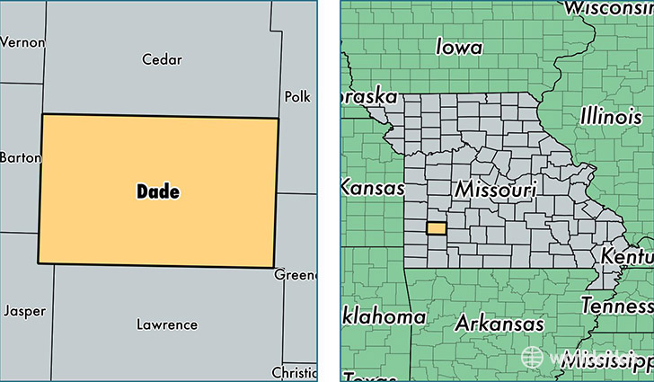
Dade County is a county equivalent area found in Missouri, USA. The county government of Dade is found in the county seat of Greenfield.
With a total 1,311.19 sq. km of land and water area, Dade County, Missouri is the 2154th largest county equivalent area in the United States. Home to 7,628 people, Dade County has a total 3922 households earning 35483 on average per year.
Dade County, Missouri - Quick Facts
| FIPS Code | 29057 |
| Area Codes | 417 |
| Time Zone | CST |
| Major Cities | Greenfield (population: 2,459), Everton (population: 1,982), Lockwood (population: 1,903), Dadeville (population: 520), South Greenfield (population: 416), Arcola (population: 197) |
| Land Area | 2,945 sq miles |
| Water Area | 490 sq miles |
| Household Income | $35,483 |
| Housing Units | 3,922 |
| Median Home Value | $78,200 |
| High School Grads | 85% of population |
| Holders of Bachelors Degrees | 13% of population |
| Retail Spending | $6,222 per capita |
| Food & Accomodation Sales | $2,099 per capita |
This page was last updated on June 30, 2016.