Where is Lawrence County, Missouri?
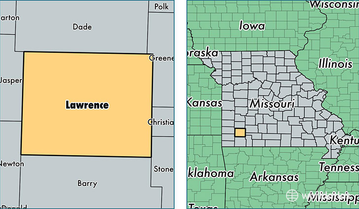
Lawrence County is a county equivalent area found in Missouri, USA. The county government of Lawrence is found in the county seat of Mount Vernon.
With a total 1,588.64 sq. km of land and water area, Lawrence County, Missouri is the 1699th largest county equivalent area in the United States. Home to 38,023 people, Lawrence County has a total 16499 households earning 39334 on average per year.
Lawrence County, Missouri - Quick Facts
| FIPS Code | 29109 |
| Area Codes | 417 |
| Time Zone | CST |
| Major Cities | Aurora (population: 12,088), Mount Vernon (population: 8,457), Marionville (population: 3,976), Pierce City (population: 3,604), Verona (population: 3,080), Miller (population: 2,289), Wentworth (population: 1,076), Stotts City (population: 744), La Russell (population: 738), Freistatt (population: 158) |
| Land Area | 14,681 sq miles |
| Water Area | 612 sq miles |
| Household Income | $39,334 |
| Housing Units | 16,499 |
| Median Home Value | $93,700 |
| High School Grads | 85% of population |
| Holders of Bachelors Degrees | 15% of population |
| Retail Spending | $11,171 per capita |
| Food & Accomodation Sales | $20,500 per capita |
This page was last updated on June 30, 2016.