Where is Kalamazoo, MI?
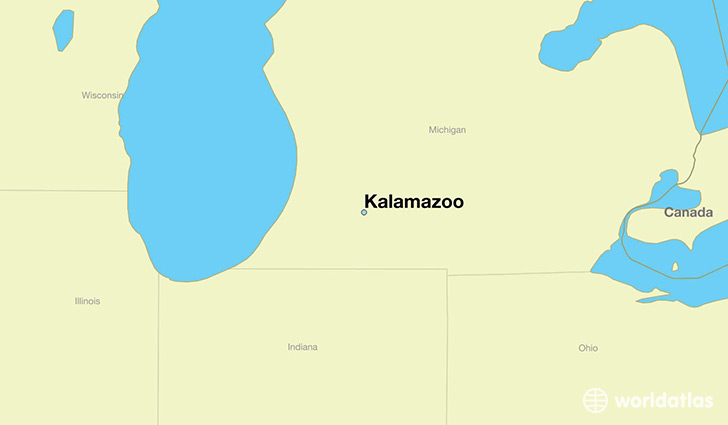
Kalamazoo is a city found in Michigan, The United States Of America. It is located 42.29 latitude and -85.59 longitude and it is situated at elevation 242 meters above sea level.
Kalamazoo has a population of 74,262 making it the 11th biggest city in Michigan. It operates on the CST time zone, which means that it follows the same time zone as Ann Arbor.
Quick facts
| Country | The United States Of America |
| State | Michigan |
| Population | 74,262 |
| Elevation | 242 m over sea level |
| Time Zone | CST |
| Longitude | -85.587230 |
| Latitude | 42.291710 |
Kalamazoo has a population of around 75499, of which 37814 (50%) are male and 37685 (49%) are female. The average age of the inhabitants of Kalamazoo is 32.51, meaning that the average person is below the national median age of 37. For every male, there are approximately 1 females, meaning that the population is relatively evenly distributed between males and female(s).
Of Kalamazoo's 75499 residents, around 71469 (94.70%) identify as having a single race. The majority of the population is white, which consists of 68.30% of the population. Of the remaining population, 16378 are black/African Americans (21.70%), 301 are native Americans (0.40%), 1963 are asians (2.60%), 53 are pacific islanders (0.10%), 1177 are other (1.60%).
The median income of households in Kalamazoo is $33009.00, meaning that most of the households are above the poverty threshold for families of three. Of the total population, 14.60% of households reported an annual income of less than $10,000.
Kalamazoo, MI Zipcodes
The city of Kalamazoo has 10 zipcodes recognized by the United States Census Bureau: 49001, 49002, 49004, 49006, 49007, 49008, 49009, 49024, 49048, 49074.