Where is Lansing, MI?
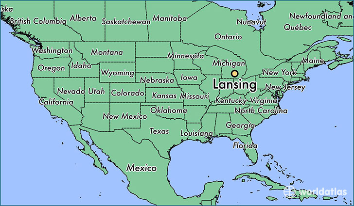
Lansing is a city found in Michigan, The United States Of America. It is located 42.73 latitude and -84.56 longitude and it is situated at elevation 260 meters above sea level.
Lansing has a population of 114,297 making it the 5th biggest city in Michigan. It operates on the EST time zone, which means that it follows the same time zone as Detroit.
Quick facts
| Country | The United States Of America |
| State | Michigan |
| Population | 114,297 |
| Elevation | 260 m over sea level |
| Time Zone | EST |
| Longitude | -84.555530 |
| Latitude | 42.732530 |
Lansing has a population of around 114485, of which 54856 (47%) are male and 59629 (52%) are female. The average age of the inhabitants of Lansing is 35.01, meaning that the average person is below the national median age of 37. For every male, there are approximately 1.09 females, meaning that the population is relatively evenly distributed between males and female(s).
Of Lansing's 114485 residents, around 104471 (91.30%) identify as having a single race. The majority of the population is white, which consists of 61.50% of the population. Of the remaining population, 24930 are black/African Americans (21.80%), 554 are native Americans (0.50%), 4731 are asians (4.10%), 47 are pacific islanders (0.00%), 3770 are other (3.30%).
The median income of households in Lansing is $35563.00, meaning that most of the households are above the poverty threshold for families of three. Of the total population, 12.70% of households reported an annual income of less than $10,000.
Lansing, MI Zipcodes
The city of Lansing has 13 zipcodes recognized by the United States Census Bureau: 48823, 48837, 48842, 48854, 48864, 48906, 48910, 48911, 48912, 48915, 48917, 48921, 48933.