Where is Grand Rapids, MI?
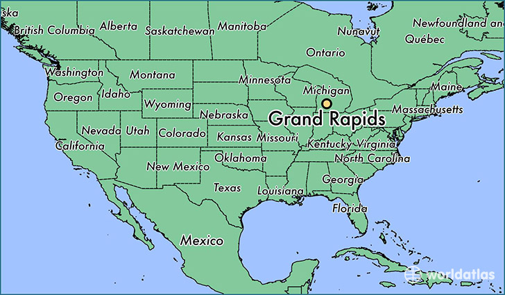
Grand Rapids is a city found in Michigan, The United States Of America. It is located 42.96 latitude and -85.67 longitude and it is situated at elevation 205 meters above sea level.
Grand Rapids has a population of 188,040 making it the 2nd biggest city in Michigan. It operates on the EST time zone, which means that it follows the same time zone as Detroit.
Quick facts
| Country | The United States Of America |
| State | Michigan |
| Population | 188,040 |
| Elevation | 205 m over sea level |
| Time Zone | EST |
| Longitude | -85.668090 |
| Latitude | 42.963360 |
Grand-rapids has a population of around 192416, of which 94079 (48%) are male and 98337 (51%) are female. The average age of the inhabitants of Grand-rapids is 34.63, meaning that the average person is below the national median age of 37. For every male, there are approximately 1.05 females, meaning that the population is relatively evenly distributed between males and female(s).
Of Grand-rapids's 192416 residents, around 183600 (95.40%) identify as having a single race. The majority of the population is white, which consists of 68.40% of the population. Of the remaining population, 39336 are black/African Americans (20.40%), 815 are native Americans (0.40%), 3770 are asians (2.00%), 76 are pacific islanders (0.00%), 8002 are other (4.20%).
The median income of households in Grand-rapids is $40355.00, meaning that most of the households are above the poverty threshold for families of three. Of the total population, 10.60% of households reported an annual income of less than $10,000.
Grand Rapids, MI Zipcodes
The city of Grand Rapids has 13 zipcodes recognized by the United States Census Bureau: 49503, 49504, 49505, 49506, 49507, 49508, 49509, 49512, 49525, 49534, 49544, 49546, 49548.