Where is Sterling Heights, MI?
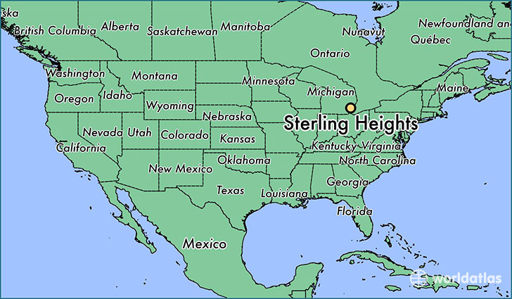
Sterling Heights is a city found in Michigan, The United States Of America. It is located 42.58 latitude and -83.03 longitude and it is situated at elevation 190 meters above sea level.
Sterling Heights has a population of 129,699 making it the 4th biggest city in Michigan. It operates on the EST time zone, which means that it follows the same time zone as Detroit.
Quick facts
| Country | The United States Of America |
| State | Michigan |
| Population | 129,699 |
| Elevation | 190 m over sea level |
| Time Zone | EST |
| Longitude | -83.030200 |
| Latitude | 42.580310 |
Sterling-heights has a population of around 131139, of which 64940 (49%) are male and 66199 (50%) are female. The average age of the inhabitants of Sterling-heights is 40.30, meaning that the average person is above the national median age of 37. For every male, there are approximately 1.02 females, meaning that the population is relatively evenly distributed between males and female(s).
Of Sterling-heights's 131139 residents, around 128150 (97.70%) identify as having a single race. The majority of the population is white, which consists of 84.30% of the population. Of the remaining population, 7215 are black/African Americans (5.50%), 49 are native Americans (0.00%), 9852 are asians (7.50%), 95 are pacific islanders (0.10%), 394 are other (0.30%).
The median income of households in Sterling-heights is $60089.00, meaning that most of the households are above the poverty threshold for families of three. Of the total population, 4.90% of households reported an annual income of less than $10,000.
Sterling Heights, MI Zipcodes
The city of Sterling Heights has 5 zipcodes recognized by the United States Census Bureau: 48310, 48312, 48313, 48314, 48317.