Where is Flint, MI?
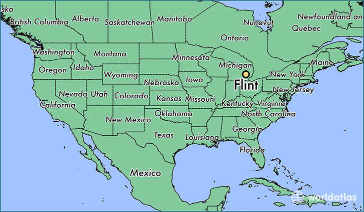
Flint is a city found in Michigan, The United States Of America. It is located 43.01 latitude and -83.69 longitude and it is situated at elevation 231 meters above sea level.
Flint has a population of 102,434 making it the 2nd biggest city in Michigan. It operates on the CST time zone, which means that it follows the same time zone as Ann Arbor.
Quick facts
| Country | The United States Of America |
| State | Michigan |
| Population | 102,434 |
| Elevation | 231 m over sea level |
| Time Zone | CST |
| Longitude | -83.687460 |
| Latitude | 43.012530 |
Flint has a population of around 99802, of which 48284 (48%) are male and 51518 (51%) are female. The average age of the inhabitants of Flint is 35.99, meaning that the average person is below the national median age of 37. For every male, there are approximately 1.07 females, meaning that the population is relatively evenly distributed between males and female(s).
Of Flint's 99802 residents, around 96111 (96.30%) identify as having a single race. The majority of the population is black/African American, which consists of 55.10% of the population. Of the remaining population, 39414 are white (39.50%), 615 are native Americans (0.60%), 393 are asians (0.40%), 34 are pacific islanders (0.00%), 702 are other (0.70%).
The median income of households in Flint is $24862.00, meaning that most of the households are above the poverty threshold for families of three. Of the total population, 21.20% of households reported an annual income of less than $10,000.
Flint, MI Zipcodes
The city of Flint has 10 zipcodes recognized by the United States Census Bureau: 48502, 48503, 48504, 48505, 48506, 48507, 48529, 48532, 48551, 48553.